Natural Resources Research & Management
Natural Resources Research & Management
It seems drones or unmanned aerial vehicles (UAVs), are commonplace in today’s society. However, this is a fairly recent phenomenon. The first UAVs were developed in World War I and remained restricted to military and governmental uses in the United States for almost 90 years. In 2006, the Federal Aviation Administration (FAA) issued the first commercial drone permits, and the industry immediately took off.
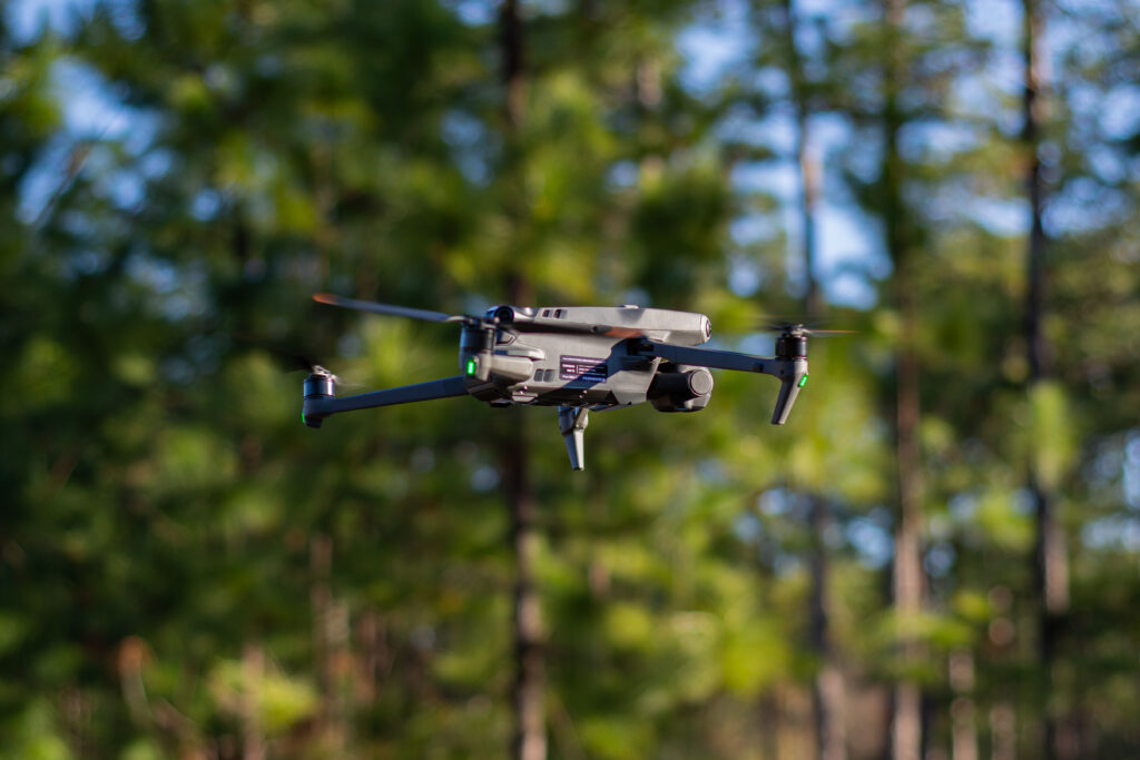
There are many commercialized uses for drones, including data collection for scientific research, which has benefitted from the growth of UAV technology and the expansion of its availability. These remote-controlled aerial vehicles have allowed researchers to efficiently investigate new perspectives of the landscape with minimal disturbance. The increasing prevalence of drones in research has carried scientific disciplines to new heights, including the work of our Center’s researchers. The Jones Center at Ichauway purchased its first drone in 2019 and has since utilized UAV technology within its three main departments: Education, Conservation, and Research.
According to the FAA’s Small Unmanned Aircraft Systems (UAS) Rule (Part 107), you must obtain or be in the presence of someone with a Remote Pilot Certificate to operate a drone.
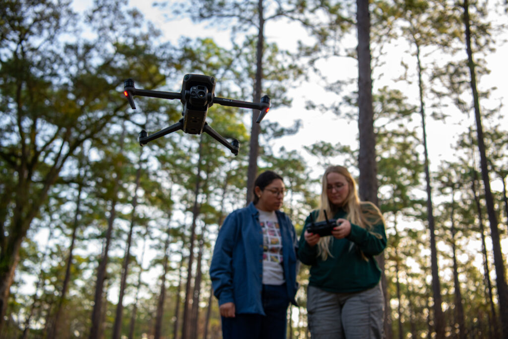
To successfully obtain a drone certificate, you must be at least 16 years old, proficient in the English language, and most importantly, you must pass a 60-question exam with a minimum score of 70%. The approximately two-hour exam focuses on safety and regulations and requires about a month of preparation. Former Research Associate (RA) Andy Whelan, Scientist Dr. Jeff Cannon, graduate student Justine Smith, and technician Chloe Hall are among the recent Center staff who obtained their Remote Pilot Certificate. Last fall, the Center added two new certified drone pilots: RA Leah Andino and technician Amber Johnson.
As the RA for the Landscape Ecology Lab, Andino frequently uses drones to collect data to inform answers to complex research questions. She notes that one value of using drones is “[the ability to] study larger scales,” while Johnson added that “[studying bigger areas] is a lot more efficient” with drones. They both emphasized the application of drones – from classifying habitats to collecting bathymetric data on water bodies (and more!) – is extremely versatile.
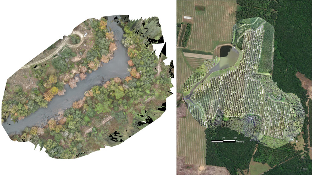
As drone flights at The Jones Center continue to rise, it’s important to recognize some notable ongoing or completed research projects that have already benefitted from this technology. Within our Affiliate Mussel Conservation Lab, drones mapped streams and riparian habitats while being a tool to evaluate the implementation of conservation initiatives as a part of the Habitat Conservation Plan.
In the wildlife world, Justine Smith used drones to identify and quantify wild pig damage as a part of her effort to study methods of deterring these destructive animals. Concurrently, the Landscape Ecology Lab is taking advantage of UAVs to construct 3-dimensional models of pecan orchards pre- and post-hurricane damage to estimate wind vulnerability characteristics. This will ultimately help to identify strategies that pecan farmers can take to mitigate damage from severe storms. In short, drones have quickly become a staple tool in the belt of our researchers that will continue to take projects to new heights.