Natural Resources Research & Management
Natural Resources Research & Management
Water resources are a regular topic of conversation in southwest Georgia, especially in the Dougherty Plain region, an area where unique natural ecosystems share water with some of the most productive agricultural areas in the state. This shared water comes from the Upper Floridan Aquifer, a natural underground reservoir that buffers crops and ecosystems from droughts. Whether the water from “The Floridan” is used for irrigating crops during a short dry spell or for maintaining fish and mussel populations during a severe drought, it’s important to understand the inner workings of this system, its capacity, and its limits.
The Jones Center at Ichauway sits in the middle of this region, and recently released a new publication detailing how water from the Floridan interacts with the land surface. Produced in collaboration with Louisiana State University, “Field Guide to the Hydrogeology of Ichauway” takes a deep dive into the workings of this system. The guide uses easily observed land features as examples where geology and hydrology come together. As it turns out, the present situation in this region is founded on millions of years of history that shaped the landscape. This geologic history continues to control how water moves within and through the area.
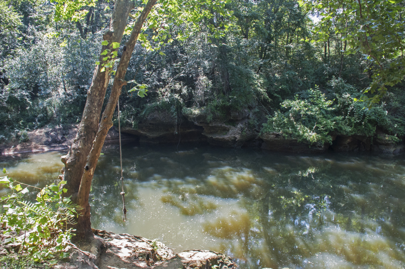
The Dougherty Plain is a “karst” system, which is defined by limestone bedrock and landscape features resulting from dissolved rock. Ichauway itself has abundant small sinkholes, lime-sink wetlands, and small springs bubbling up from the bottom of the nearby Flint River. Another common feature of karst areas is caves, which are not present on Ichauway, but can be found in nearby Albany, GA. These features help identify the area as active karst.
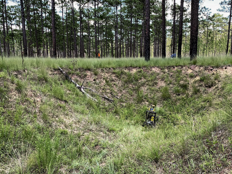
This field guide centers around a driving tour of Ichauway with stops that explore the rocks, sinkholes, wetlands, and creeks on the property. Along the way, the guide touches on the theory of why the land developed in this manner, and how that affects water movement today. A simple field chemical test on an exposed rock shows the composition to be limestone. Fossils demonstrate the age of the visible rocks to be ~30-million-year-old Ocala limestone. This is the rock formation that holds and defines the Floridan Aquifer. Finally, remote sensing technologies like LiDAR (Light Detection and Ranging) and GPR (ground penetrating radar) are used to see features and patterns in the landscape that aren’t apparent to the naked eye.
While the field guide is focused on Ichauway, many of the observations apply to the Dougherty Plain as a whole, and to other karst systems. “Ichauway was a great location to investigate the subsurface karst and relate them to the hydrology of the Dougherty Plain,” says the guide’s lead author, Dr. Joe Honings. Dr. Honings developed the guide as a graduate student and now works at the Iowa Geological Survey.
“The heterogeneity of karst systems makes them difficult to characterize. We were able to target key areas to investigate the subsurface based on aerial imagery and previous research from The Jones Center. It was an awesome experience to do this work in a natural setting. I hope our work serves as a foundation for future hydrologic research in the Dougherty Plain,” he adds. Over time, the field guide will be used to educate and inspire new studies of hydrogeology at Ichauway and in the surrounding landscape.
Dr. Steven Brantley, who co-authored the publication, is an ecohydrologist at The Jones Center who studies the hydrologic cycle in southwest Georgia. Brantley commented, “this publication is just scratching the surface of how water moves around the landscape. We hope it will show visitors and potential collaborators just how complex hydrology is in this region. This complexity is a challenge for managers, but it also offers great opportunities for scientists to study hydrogeology in an ecologically and economically important region.”
Rachel McGuire, The Jones Center at Ichauway, rachel.mcguire@jonesctr.org
Joseph Honings, PhD, Iowa Geological Survey, joseph-honings@uiowa.edu
Steven T. Brantley, PhD, The Jones Center at Ichauway, steven.brantley@jonesctr.org
This field guide was produced with support from The Jones Center at Ichauway with funding from the Robert W. Woodruff Foundation. Additional funding for Dr. Honings came from LSU Geology & Geophysics, the Geological Society of America, Houston Energy, and Chevron.